On the map
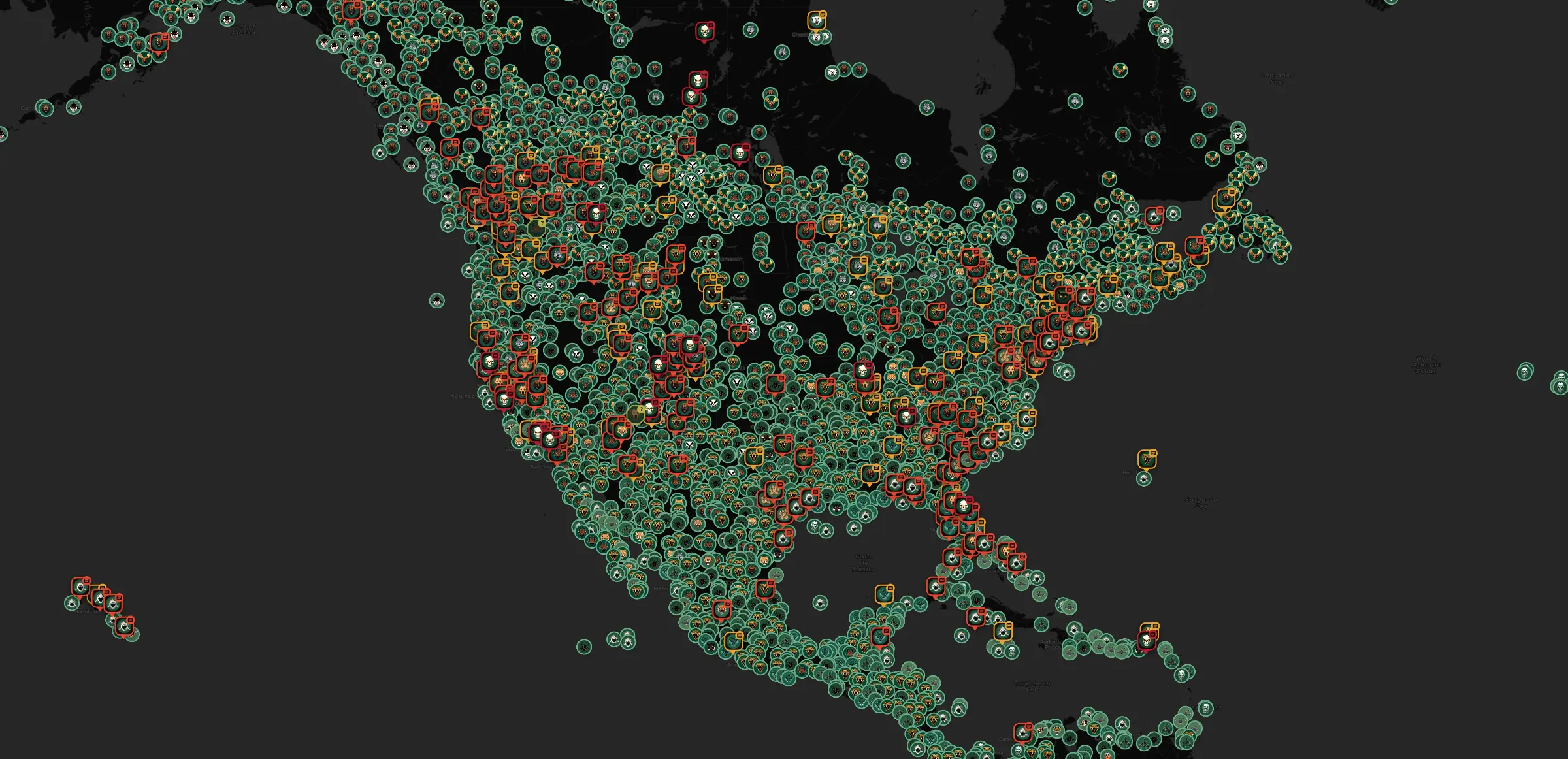
Each report is a pin.
News stories, member reports and field records, on one map. Tap a pin to see what was reported and where it came from.
- Just bears? Show only the animals you pick
- Near home and wherever you're headed
- Look back a week, a month or years
Reported, not live.
Open the map →
On the map
Type the town.
Headed somewhere new? Search an address, a park, a trail or a town and see what's been reported there.
Place names from OpenStreetMap.
On the map
Pick a radius. Read it.
Ask the Guide for a field report on the miles around you: what's on file inside the radius you pick, and how recent it is.
The Guide is AI, and it reads what has been reported. It can't see what's there right now.
On the map
Trails near you.
Named trails near you, or near any place you search. Tap one to draw it on the map.
Trails from OpenStreetMap.
On the map
Flip the map. The cryptids come out.
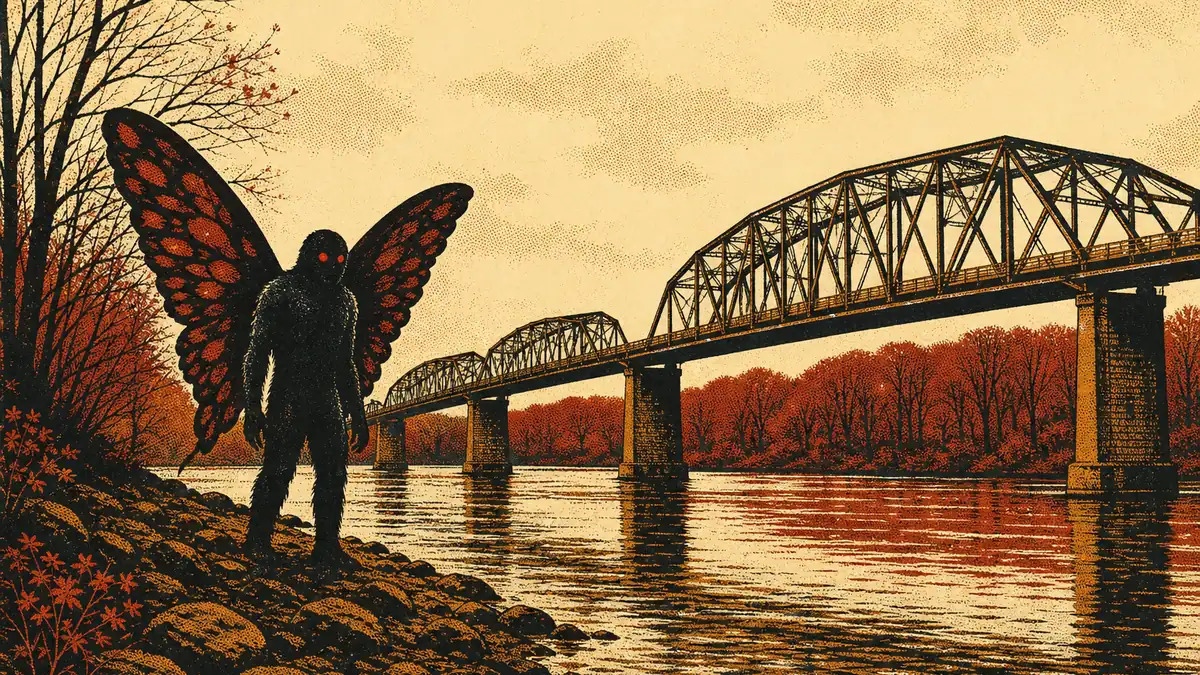
Bigfoot, UFO case files, lake monsters and folklore have a map of their own, drawn in violet and kept apart from the wildlife. It's off until you switch to it.
Filed as legend, not fact.
The lore layer ↓
Stay aware
Tell BeastWatch the places you care about.
We'll alert you when a member reports an animal inside one, or when two or more outlets report an attack there. Alerts can be late or never arrive, so don't rely on them as your only warning.
- The dog park
- The trailhead
- The campground
- Up to 10 places, each with its own radius
- News alerts only for attacks reported by two or more outlets
- Alerts come by email, and by push on iPhone and Android.
Set a watch area →
Stay aware
Choose what can alert you.
Start a hike or a walk and pick what to watch for: which animals, how close, and how recent the sighting.
Hike alerts need a data connection and can stop without warning.
Stay aware
Where, what, and when.
Tell the Guide where you're headed, what you'll be doing and which month. It briefs you on what's been reported around it.
Written by AI from what's on file, and AI can be wrong. A daily limit applies.
Stay aware
Know your beasts.
What to do around bears, alligators, sharks, snakes and more, with the poison-help line for where you are.
General safety and first aid information from the organisations named, not medical advice.
Stay aware
The numbers for where you are.
Emergency services, the wildlife line and poison help for the place you're in, one tap away.
BeastWatch is not an emergency service and does not contact anyone for you.
Ask and share
Ask the Guide.
"What do I do if I meet a coyote?" Ask about an animal or a place and get a plain answer.
General advice, from AI, which can be wrong. A daily limit applies.
Ask and share
Saw something? Pin it on the map.
Snap a photo or video and drop a pin. Reports without a photo go up marked 'unverified'.
Photos and videos are checked by AI, which can be wrong.
Ask and share
Swipe through wildlife.
Short wildlife videos from members, YouTube channels and stock libraries.
Stock footage says so. The clips in this film are stock footage from Pexels, credited on screen.