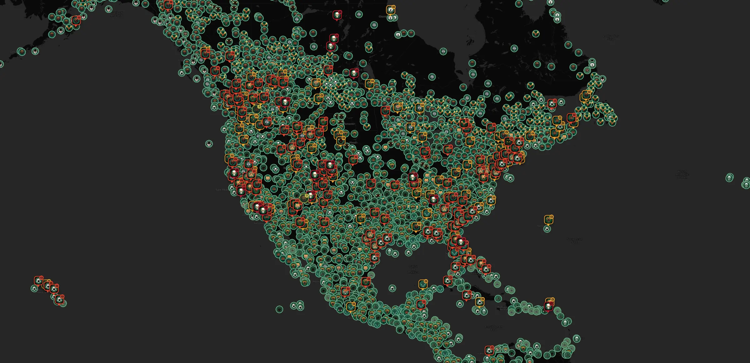

Field map / live tracking

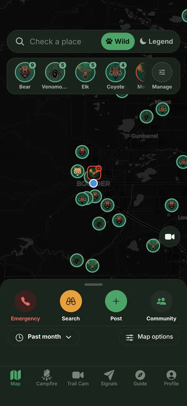
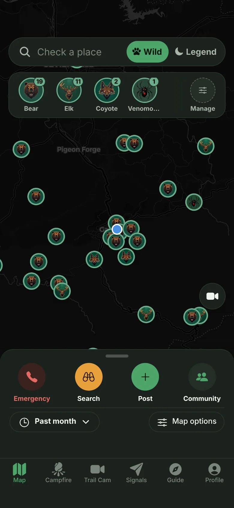
Live map of everything with teeth.

Community reports verified by AI, news incidents clustered by event, and thousands of records pulled from the wild.

Live feed/syncing bounds
----
Community reports
----
News events
----
Database records
----
Species tracked
Drag to draw a shape, or click to place points. No shape yet
Three data layers

One map, three sources of truth.

Every pin comes from somewhere you can check. Here is where.

01 AI verified

Community reports

People report what they see. AI confirms a real, live animal before anything reaches the map, and estimates its size. Stock photos, screenshots, and AI fakes get rejected.

02 Clustered

News incidents

Attacks and fatalities from the news, grouped into single events instead of a wall of duplicate headlines.

Location discipline: attacks and fatalities are pinned only as precisely as the coverage supports, down to the water body or trail when the facts are clear, city level when they are not.

03 Sourced

External archives

Thousands of research-grade observations from iNaturalist and GBIF, plus reports from the BFRO Bigfoot database, kept on the map with full attribution back to the source.

These are real sightings, drawn in a quieter green so a fresh community report still wins your eye. The iNaturalist and GBIF records follow the time range exactly like reports and news. The BFRO archive closed in 2021, so it is the one layer the time range leaves alone.

Marker key
Trip guide

Ask what is out there before you go.

Say where you are headed and what you plan to do out there. The guide reads the incident record, the news wire, and the archive around that spot, then tells you what can actually hurt you and how to be ready for it.

Takes about half a minute. It reads real records, not a canned answer.
Try one of these
The Campfire

Swap stories from the field.

Community posts and sightings around the fire, with the news wire crackling alongside.

Posting happens in the app. Browsing stays open to everyone.
Around the fire
Stoking the fire...
News wire
Loading incidents...
Field photos
Developing the film...

Real observations from iNaturalist and GBIF, credited to the person who took the shot. Tap a photo to open the original record.

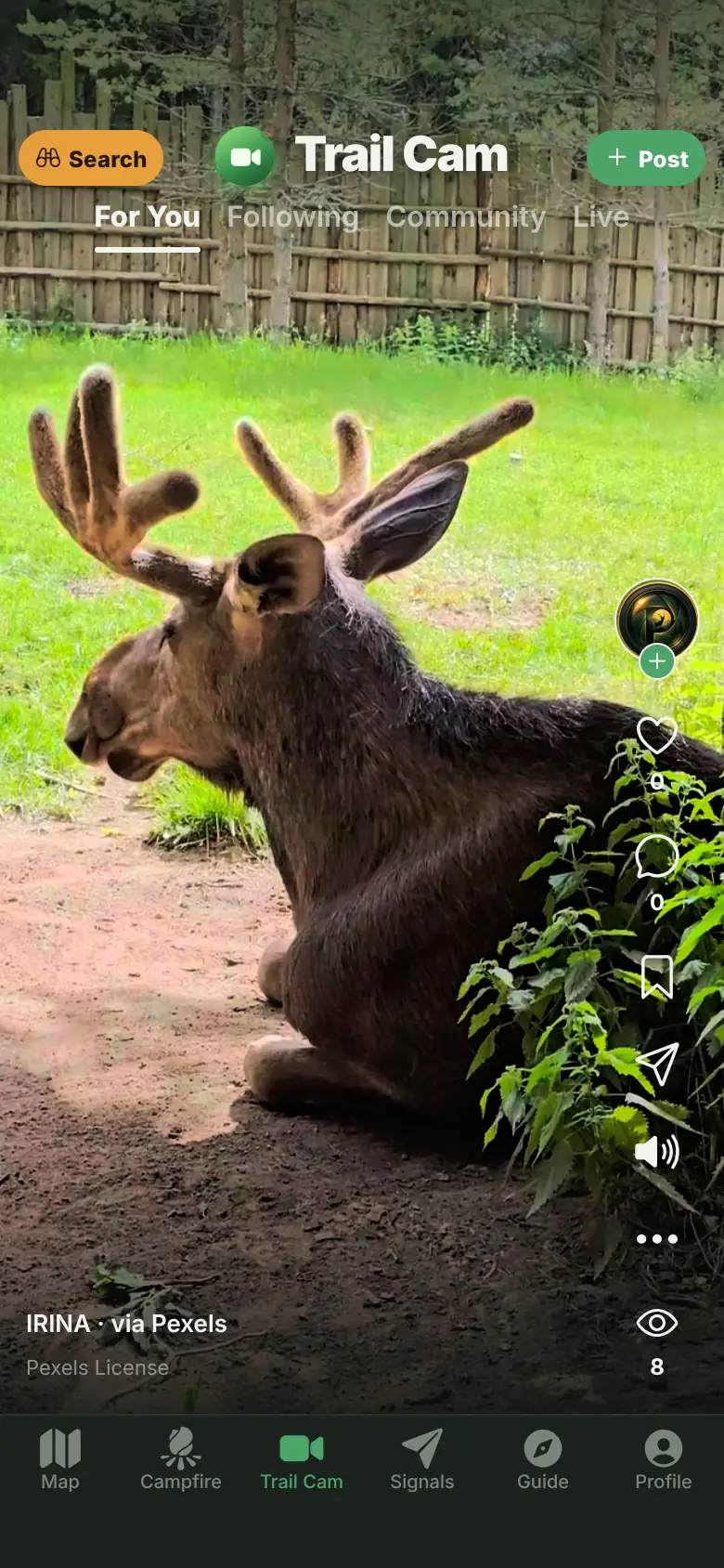
Trail Cam

Caught on camera when nobody was watching.

Community clips and public archive footage from the wild. Hover or tap a card to roll the tape, muted.

Pulling the memory card...

Watch on the app for sound, likes, and the full vertical feed. The web version stays muted and read only.

How it works

Report, verify, vote.

The whole loop takes three steps and about ten seconds of your time.

STEP 01

Report it

Snap a photo or video and drop the pin. That is the whole job on your end.

STEP 02

AI verifies

Every upload is checked for a real, live animal, then sized up. Stock images, screenshots, and generated fakes never make it through.

STEP 03

Community votes

Saw it too keeps a report live. Enough did not see it and it retires on its own, the way traffic apps handle a stale hazard.

Coverage

We track everything with a bite, a sting, or a legend.

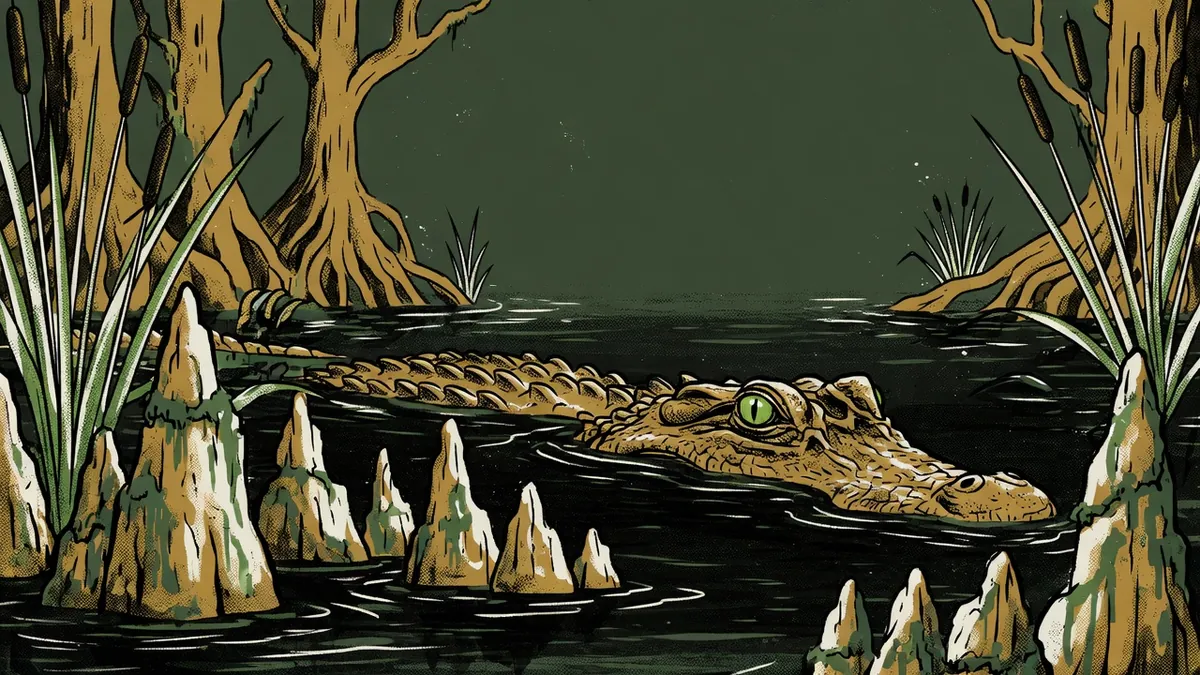
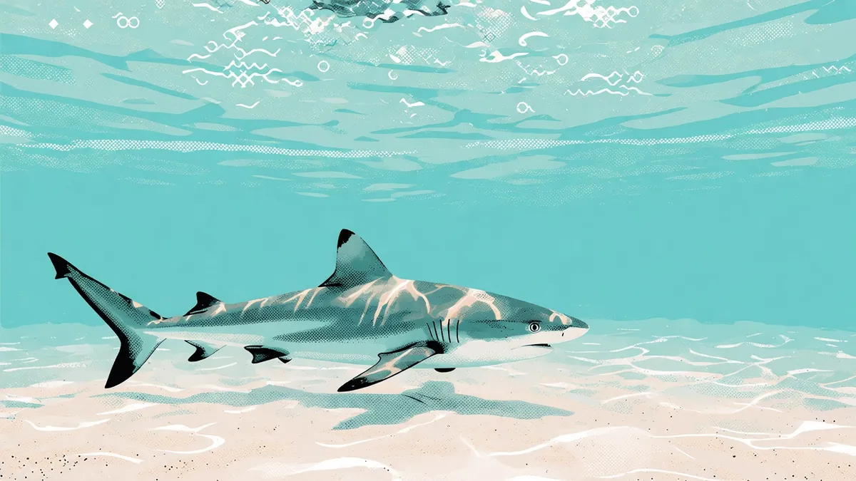
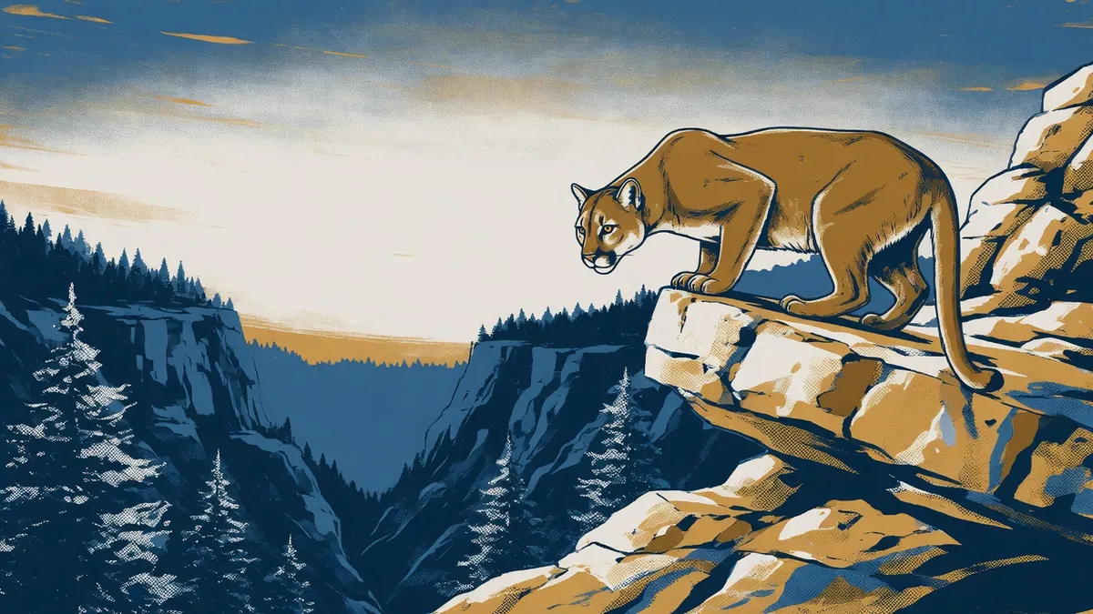
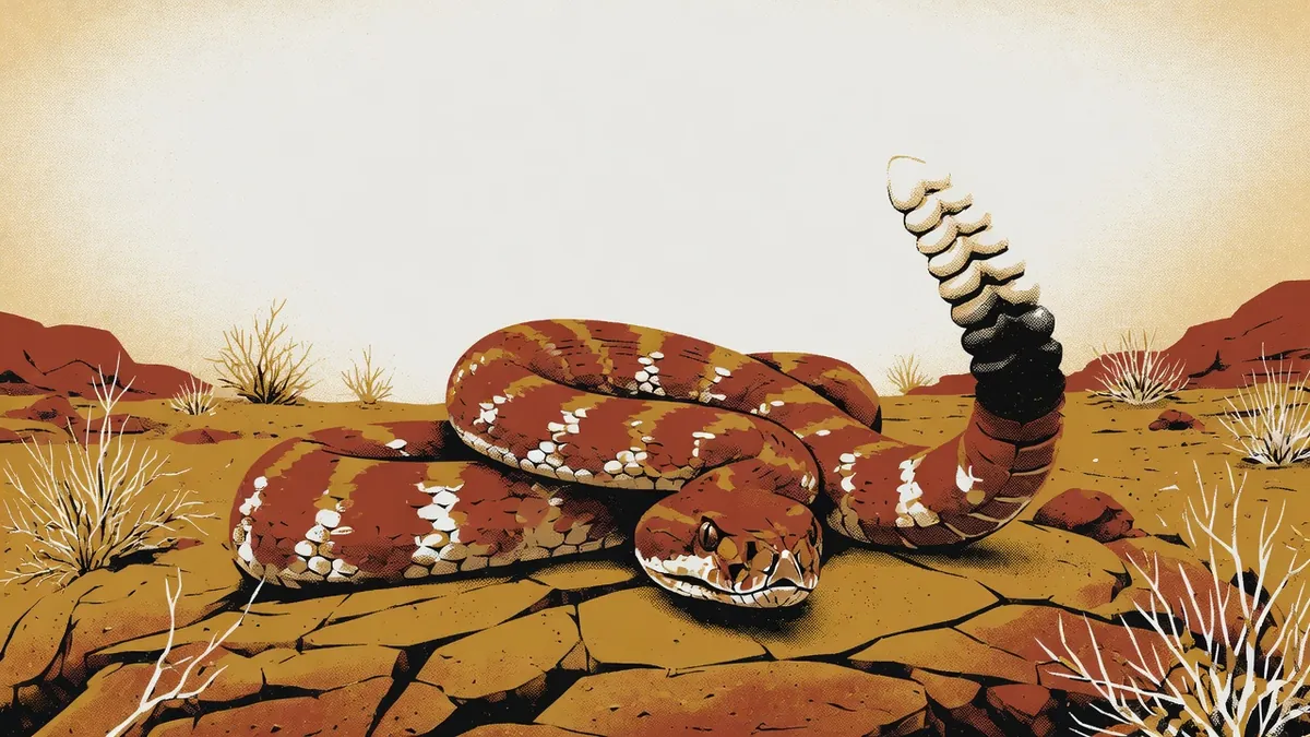
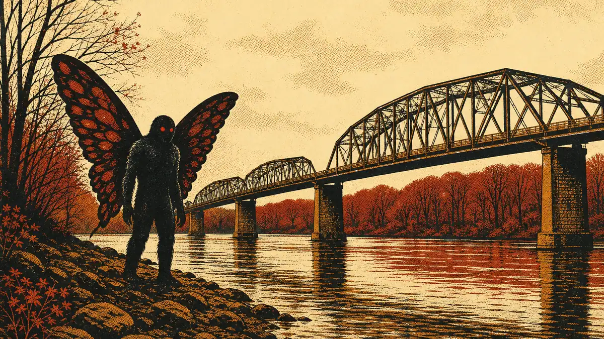
Every species and cryptid gets its own custom character art, so the map reads at a glance instead of turning into a pile of pins.

Crocodiles and caimans share the alligator art. Skunk apes share Bigfoot.

Lore layer

The things people swear they saw.

Bigfoot, Mothman, chupacabra, lake monsters. We publish cryptid reports as unverified lore, mark them plainly in violet, and let the community vote them up or down. Straight face, one eyebrow raised.

Filed as legend, not fact
Get the app

Carry the map with you.

Set a watch area over the dog park or the lake trail and get a push the moment something is reported inside it. Post your own stories to The Campfire and scroll the Trail Cam feed with the sound on.

iOS app in beta on TestFlight (invite only for now). Android on the way.